 User login
What is Field-Map? |

|
|
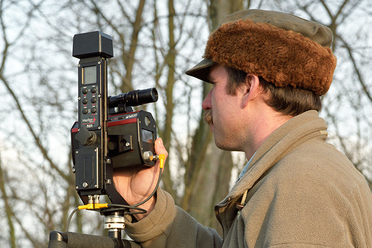
Field-Map is a software and hardware technology for effective computer-aided field data collection and data processing. |
|


Field-Map Software
Field-Map software bundle is divided into two main parts, Project Manager and Data Collector:
Field-Map Project Manager
 Design your project on desktop PC using user-friendly interface with no need of programming skills.
(more...)
Design your project on desktop PC using user-friendly interface with no need of programming skills.
(more...)
Field-Map Data Collector
 Map, measure and describe field attributes with support of pen based tablet computer.
(more...)
For data analysis there is Field-Map Inventory Analyst and Field-Map Stem Analyst.
Field-Map Inventory Analyst
 Analyze your data, use advanced statistical processing tools and produce instant PDF tables and graphs. (more...)
Field-Map Stem Analyst
 Calculate volume of standing trees and even assortments on the base of direct measurements. (more...)
Field-Map users
